Secret spot off the beaten path: Coosawhatchie River
Story + Photography by Michele Roldán-Shaw

It’s a thick, humid morning, and the air swims with moisture particles. Banks of lowering clouds hang over tree lines, and the steely gray water is mirror calm. Silence looms — I am utterly alone. At dead low tide the banks of mud and grass imprison me, blocking any view beyond the immediate so that I am truly in a world unto myself.
Sometimes I take it for granted that I can find solitude and open space at will. People in South Florida can’t do that. People in NYC can’t do that. Even on Hilton Head you’re hard pressed. But a short drive away, the unspoiled expanses of the Lowcountry beckon, and I suddenly remember to be grateful.
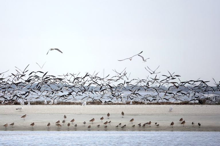
Of all the life forms that may inhabit this place, only birds make their presence known: egrets, terns, sandpipers. Funny, fussy little baby blue herons that sound off with a peevish squawk. Even the furtive clapper rail (colloquially known as marsh hen) scurries in full view for a moment before darting back to its lair. Normally, you only hear them — a series of sharp clacking notes that carry far across the creeks — a sound as distinctive to the quietude of the marsh as quietude itself.

If the Lowcountry seems crowded to you, overrun by hordes of tourists and newcomers, head out to Coosawhatchie — there’s nothin’ goin’ on over here. Once on the King’s Highway between Boston and Charlestown, the settlement formed when trappers hung around a rice planter’s store. Coosawhatchie burned in the Revolution, then burned again in the Civil War, despite General Robert E. Lee being headquartered here while beefing up the coast. He bought his famous war horse Traveller up the road in Pocotaligo. But the consequence of Coosawhatchie waned; its courthouse moved to Gillisonville; it lost the county seat to Beaufort. Now it’s just a frontage road off I-95 with a little bridge over the Coosawhatchie River.
“Hatchie” was the Coosaw people’s word for river, and it’s all that’s left of their legacy. This laidback coastal tribe was wiped out during the tumultuous colonial period, killed by white men and more war-like tribes of the Southeast. Survivors were sold into slavery for West Indian plantation labor or assimilated into the Catawbas and Creeks.
You will see nothing of this history on the river today. It’s just a quiet stretch of saltwater and grass with blank inscrutable banks — an oyster-encrusted pylon here, a half-destroyed dock there, never repaired after a hurricane perhaps. This is worlds away from Shelter Cove and Palmetto Bluff. The landing has a seedy-looking wooden shelter — paint peeling, Bud Light empties on the picnic table — but the pier is well-kept and the river beckons. Launch, float, and channel the unambitious spirit of the Coosawhatchie: drift like a cast-off feather with the tide. LL
How to get there

Location: Dawson’s Landing, Ridgeland
Mode of transport: Kayak
If you go: From Highway 170 in Okatie, take SC-462 toward Ridgeland/Coosawhatchie. Ride about 16 miles before turning right onto Dawson Landing Road. Take binoculars and a birding book!