Guided by Light: How Stars Shaped Navigation and Exploration
FROM THE LOWCOUNTRY TO THE OPEN SEA, POLARIS AND THE CONSTELLATIONS POINTED THE WAY
STORY BY MACKENZIE LIONBERGER
Long ago, directions weren’t glowing on a screen in your hand but were scattered across the heavens. Long before GPS, the first “map” wasn’t downloaded. It was written in light. For thousands of years, constellations, planets and stars guided explorers across oceans, including the very voyages that shaped the world we know today.
Reading the sky
Picture yourself on a wooden ship at night, the black water stretching in every direction. The only light comes from a dome of stars overhead, the salt air clinging to your skin, the steady creak of timbers beneath your feet. That sky was once a sailor’s only guide.From Europe to the South Carolina coast, navigators trusted age-old methods to find their way. The most reliable guides were Polaris, also known as the North Star, and the Big Dipper. To find Polaris, look for the two stars at the edge of the Big Dipper’s bowl. They point directly toward it. Once spotted, Polaris gave sailors the confidence to hold their course.They also discovered a clever trick. By measuring the angle between the North Star and the horizon, they could determine latitude. Along the Lowcountry’s flat coast, with wide-open views of the horizon, this method worked especially we know today.


TOOLS OF THE TRADE Introduced in the 1700s, the octant and later the sextant measured the angle between a star and the horizon to determine latitude. octant

CELESTIAL COMPASS One of the most recognizable constellations in the night sky, the Big Dipper forms part of Ursa Major, the Great Bear. Its scoop-shaped pattern has long served as a celestial pointer, with the two stars at the edge of the bowl leading directly to Polaris, the North Star.
From octant to sextant
As voyages grew more ambitious, sailors needed tools that could keep up. In the 1730s they began using the octant, shaped from one-eighth of a circle, to measure the angle between a star and the horizon. That simple reading revealed a ship’s latitude and gave navigators a better sense of where they stood on the ocean.By the late 1700s, the sextant refined the process. Shaped from one-sixth of a circle, it paired star sightings with maritime tables for pinpoint accuracy. The sextant proved so dependable that ships still carry them today. Even with GPS, modern vessels such as Navy ships and local sailboats keep one on board as a backup.
Stormy skies
The Lowcountry’s wide horizon made for excellent stargazing, but weather was an ever-present obstacle. Charleston bustled as one of the busiest ports in the 1700s, yet its sailors faced fog, sticky humidity and sudden storms that could blot out the heavens.Hurricanes made things even more treacherous, sometimes hiding the stars for days. Unlike drivers today, sailors could not pull off to wait out the weather. They pressed on, trusting that Polaris would eventually break through the clouds to guide them home.
Shared star maps
Just as you might groan at a GPS that sent you to the wrong side of town, sailors sometimes misread the sky and ended up far off course. To prevent others from making the same mistakes, they began sketching navigational charts of the night sky.

CROWN OF STARS Shaped like a bold “W” or “M” in the night sky, Cassiopeia is easy to spot opposite the Big Dipper. In Greek mythology she was a vain queen, but to stargazers she serves as a dependable seasonal marker.
STARS TO SPOT
Big Dipper: Look for its scoop shape. The two stars at the edge point directly to Polaris.
Polaris (North Star):Almost fixed in place. Its height above the horizon equals your latitude.
Orion:Best seen in winter, marked by the three-star “belt.
Cassiopeia: A “W”-shaped constellation opposite the Big Dipper, often hanging over the marsh.
These charts became living documents, passed from ship to ship and voyage to voyage. Each revision added hard-earned lessons and clever tricks that improved navigation across the globe.“You can still go and get a navigational chart today. You trust it because it’s been around for a long time and people have used it for a long time,” said Gary Senn, director of the Ruth Patrick Science Center in Aiken.Senn’s background in marine biology and science led him to a career blending maritime studies with STEM opportunities for students and teachers. His work echoes the wisdom of old sailors: use the tools that work, but never forget the stars.
Still shining
Technology may keep advancing, but the night sky has not changed. The same constellations that guided explorers now shine over the marshes, beaches and creeks of the Lowcountry. For centuries sailors put their faith in those patterns of light, trusting them across unknown seas.Next time you are stretched out on the sand after sunset, look up. Those same stars are still there, silent and steady, ready to guide you, too.
STARGAZING TIPS
Stars rise in the east and set in the west, which helps with orientation.
Measure the angle between the North Star and the horizon to estimate latitude.
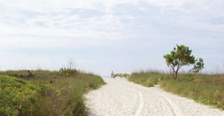
Head to the beach for the best view.The Lowcountry’s flat coastline makes it one of the region’s most spectacular observatories.Check the moon phase.A new moon gives the darkest skies, while a full moon can wash out fainter stars.
Give your eyes 20 minutes to adjust to the dark, and avoid bright lights.A red flashlight is best if you need one.
Look for bright planetssuch as Venus, Jupiter and Mars, which often shine as steadily as stars.
Bring binocularsfor a closer look at the moon’s craters, star clusters and even Jupiter’s bands.
Aim for clear, cool nights with low humidity, which offer the sharpest skies.